Coordination of properties
in cadastre and property registration
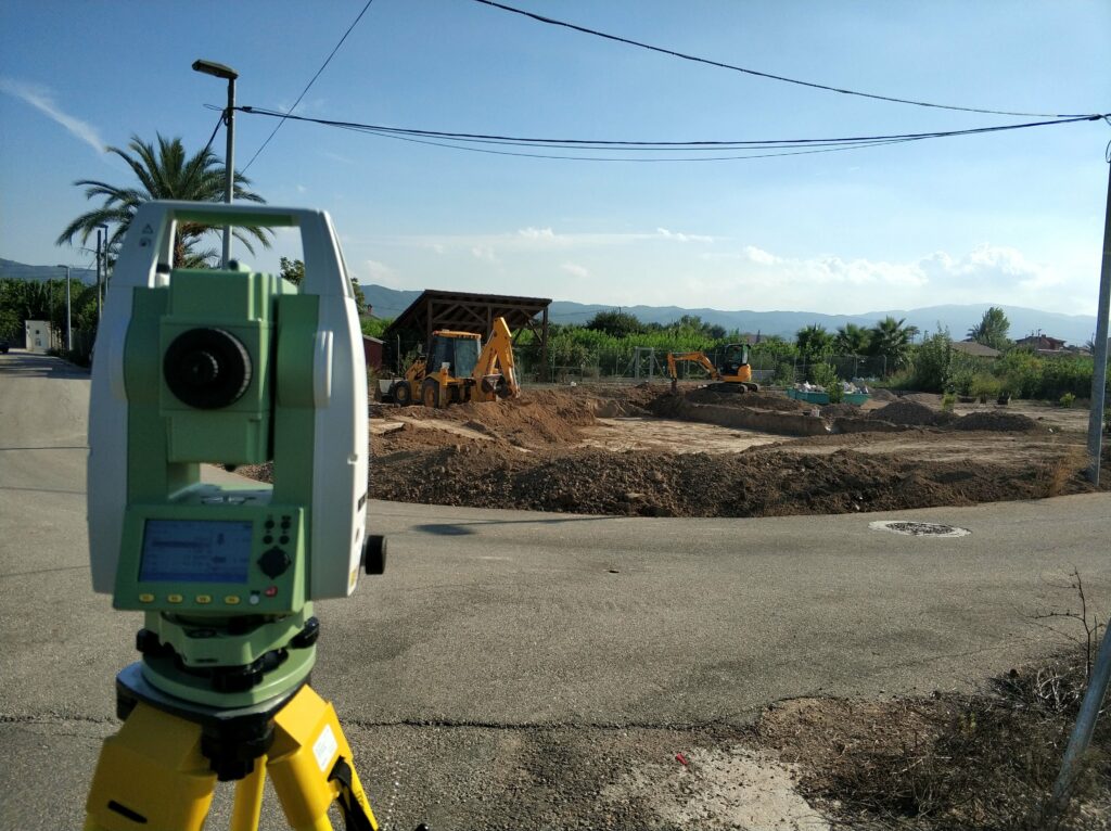
It is frequently verified that the surfaces that appear in the Cadastre and Registry do not coincide, making it necessary to coordinate them through a new georeferenced topographic measurement to correctly demarcate the property.
The cadastre is an administrative record that contains a fully comprehensive description of rural and urban property and real estate. Registration is mandatory and for this it is necessary to have the work of a topographic company like ours that will collect all the necessary information for a property to be registered in the cadastre through a surface report.
In the Cadastre there are numerous plots that are not correctly registered, generating various problems to be corrected:
- Cadastral plots with incorrect geometry and surface, affecting the identification of boundaries.
- Plots that were registered without updating the Cadastre to generate new cadastral parcels with identification of each owner.
- Accesses, service roads and rights of way without demarcation.
- Properties formed by several cadastral references when they should be united into one.
- Unregistered plots or without identification of their owners and boundaries.
At Pelegrín topography we solve all these problems. Our activity includes the study of all the available information together with the information collected by Cadastre and Registry, we carry out a georeferenced topographic measurement on the ground, which allows us to correct errors and resolve the legal status of the property, as established in the mortgage law.
We take care of everything, from collecting data on the ground to developing plans, including a study of the documentation, its coordination and the final preparation of the file that allows us to begin a correction process in the cadastre.
Work we do:
- Measurements of rural and urban properties.
- Demarcations of the complete perimeter of the property, reflecting the actual limits and pre-existing rights or easements. Preparation of demarcation certificate.
- Division, segregation and grouping of plots.
- Correction of cadastral discrepancies (Mod. 902-N, 903-N, 904-N)
- Generation of the alternative graphic representation (RGA) and the graphic validation report (IVG) required by the Notary and Cadastre.
- Creation of the plot and construction GML file.
- Parcel identity report.
- Cadastral report on the location of constructions. (ICUC).
- Construction antiquity certificates
TESTIMONIALS
The treatment received has been of total satisfaction, explaining the entire process with great patience and with an adjusted price. They have managed the entire process including the registration in the Cadastre electronic headquarters. Thank you.
I wanted to avoid problems for my heirs and leave all the documents in order so that they would not have any problems, since the property boundaries were not correctly represented in the Cadastre and the existing constructions were not declared. They have managed both the process of correcting the cadastral plot and the declaration of the extensions through a certificate of seniority and application for registration in the Cadastre. Once the process is completed, both the plot and the buildings are perfectly identified and appear in both the Cadastre and the Property Registry. Highly recommended!


